Real-Time Aquifer Monitoring Charts
The Victoria County Groundwater Conservation District, through the implemenation of the 2024 Advanced Aquifer Monitoring Project with support from Wellntel, Inc., is automating the collection of water level measurements and conductivity measurements from wells within Victoria County.
The collected information can be assembled and displayed on real-time aquifer monitioring graphs. For those wells that the well owner has authorize the publication of the graphs, the district provides the following graphics:
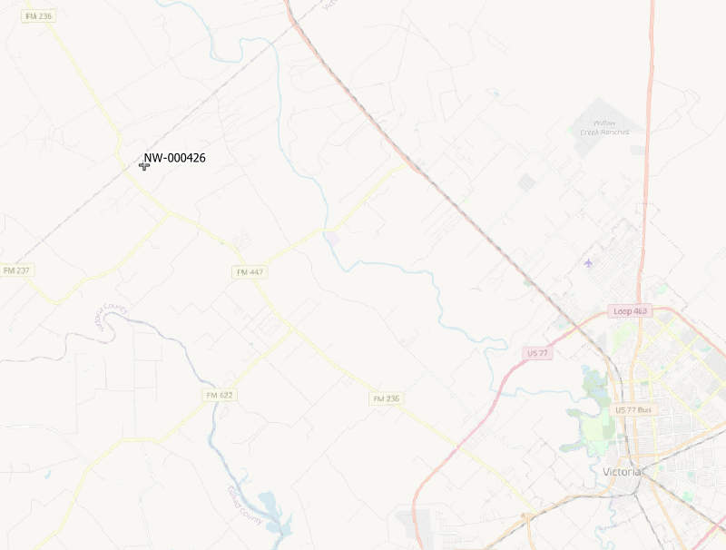
NW-000426 - Northwest Area of Victoria County

